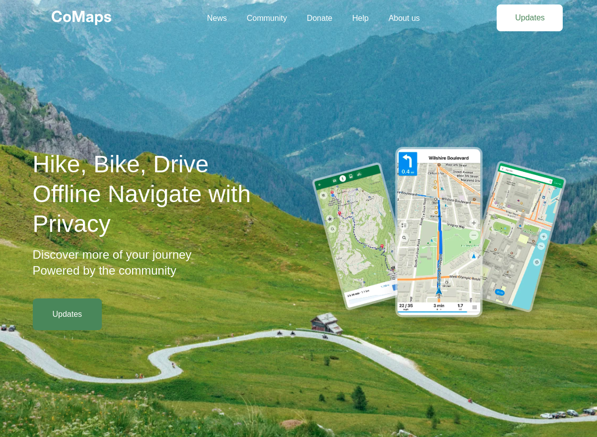
Its slogan—“Hike, Bike, Drive Offline. Navigate with Privacy! Discover more of your journey. Powered by the community.”—captures its mission.(Wikipedia)
Built on OpenStreetMap data, CoMaps offers detailed offline maps, including hiking trails, cycling routes, elevation profiles, and voice-guided turn-by-turn navigation. Once maps are downloaded, users can search, plan, and navigate without an internet connection, making it ideal for remote adventures or international travel. (organicmaps.app, Wikipedia)
Privacy is central to CoMaps’ design. The app collects no personal data, avoids location tracking, and operates without ads, analytics, or third-party surveillance. Its lightweight design also conserves battery life, ensuring long-lasting performance during extended trips.
CoMaps is more than just a navigation tool—it’s a community-driven project. Users contribute by editing maps, suggesting features, and supporting development through donations or code contributions. The app is maintained by a not-for-profit cooperative and licensed under the Apache 2.0 license, ensuring transparency and open participation. (Wikipedia)
Whether you're trekking through the Rockies or cycling across Europe, CoMaps offers a secure, offline-first navigation experience that respects your privacy and is powered by a global community of explorers. Download it today from Google Play, the App Store, or F-Droid, and start discovering more of your journey.(F-Droid)